
Cell coverage disappears in exactly the places where trails get interesting. The moment a canyon, a forest block or a mountain basin cuts you off, a phone drops to zero bars and the map stops moving, which is why more hikers now carry a dedicated handheld navigator. We worked through nine units to find the best gps units for hiking without cell service, and the differences between them turned out to be less about the receiver and more about maps, batteries and whether the safety features need a monthly plan.
Every device below works with no signal at all. That is not a special mode you switch on. A GPS receiver listens to positioning signals broadcast by navigation satellites, so your position keeps updating whether you have one bar or none. The only part that needs a connection is map data, and on a handheld that data already lives on the device. Load it before you leave and the unit behaves the same in a dead zone as it does in town.
What you give up by going off-grid is sending, not receiving. Navigation works everywhere. Two-way satellite messaging and interactive SOS are a separate system that runs on a subscription, and that distinction trips up more first-time buyers than any other. We flag it clearly on every pick below, because the price of a device and the price of the plan attached to it are two separate decisions.
If your trips are day hikes on marked trails close to town, a phone with downloaded offline maps is genuinely enough. If you are heading out for multiple nights, solo, into alpine terrain or somewhere with no coverage map, a dedicated unit earns its place. It also suits anyone documenting a route, since several of the models here geotag photos and let you navigate back to a shooting spot later. We covered that angle in our guide to GPS units used for photo scouting on a hike.
Table of Contents
Top 3 Picks for GPS Units for Hiking Without Cell Service (October 2026)
Three devices stood out after we worked through the whole list. The GPSMAP 64sx is the one we would carry, the GPSMAP 66sr earns its place for the hardest terrain, and the eTrex 22x is the value answer for anyone who wants real topographic detail without spending much.
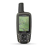
Garmin GPSMAP 64sx
- Preloaded routable TopoActive maps
- 3-axis compass and barometric altimeter
- Multi-GNSS with quad-helix antenna

Garmin GPSMAP 66sr
- Multi-band GNSS
- 450 hours in Expedition mode
- Free BirdsEye satellite imagery

Garmin eTrex 22x
- Routable topo maps preloaded
- 25 hours on two AA batteries
- 8 GB plus microSD
Best GPS Units for Hiking Without Cell Service in 2026
Here is the whole lineup at a glance. Every row works with zero bars, and the only column where these devices genuinely differ is the one about sending data out.
| Product | Specifications | Action |
|---|---|---|
| Garmin GPSMAP 64sx |
|
Check Latest Price |
| Garmin GPSMAP 66sr |
|
Check Latest Price |
| Garmin eTrex 22x |
|
Check Latest Price |
 Garmin eTrex 10 Garmin eTrex 10 |
|
Check Latest Price |
 Garmin GPSMAP 66i Garmin GPSMAP 66i |
|
Check Latest Price |
 Garmin Montana 760i Garmin Montana 760i |
|
Check Latest Price |
 Garmin GPSMAP 62S Garmin GPSMAP 62S |
|
Check Latest Price |
 Garmin Oregon 600 Garmin Oregon 600 |
|
Check Latest Price |
 Garmin Oregon 550T Garmin Oregon 550T |
|
Check Latest Price |
1. Garmin GPSMAP 64sx for Preloaded Topo Maps and a Built-In Compass
Garmin 010-02258-10 GPSMAP 64sx, Handheld GPS with Altimeter and Compass, Preloaded with TopoActive Maps, Black/Tan
2.6 inch colour 160 x 240
16 hr on 2 AA
8 oz
3-axis compass and altimeter
Multi-GNSS
Pros
- Preloaded TopoActive maps with routable roads and trails
- Multi-GNSS across GPS GLONASS and Galileo with quad-helix antenna
- 3-axis compass and barometric altimeter in a mid-priced body
- Bluetooth and ANT+ for syncing routes and waypoints
- Rugged water-resistant button design
Cons
- Only 16 hours of stated battery life in GPS mode
- Screen resolution of 160 x 240 is dated
- Preloaded TopoActive maps cover the US and Australia only
The GPSMAP 64sx is the device we would carry ourselves, and it comes down to one thing: the sensor suite is included. A 3-axis compass and a barometric altimeter are built in, which means the unit can give you a heading and an altitude on its own. Most rivals in this class make you buy the sensor pack separately, and for navigating off-trail that extra hardware is what lets you actually use a map.
Positioning covers GPS, GLONASS and Galileo through a high-sensitivity receiver with a quad-helix antenna, and a 4.5 star average across 940 ratings with 73 percent of reviews at five stars reflects how well that combination holds up. Routes, waypoints and tracks sync over Bluetooth and ANT+.
TopoActive maps with routable roads and trails are preloaded, the rugged water-resistant body runs on two AA batteries, and the whole thing weighs 8 ounces. Nothing on it requires a subscription, a paired phone or a single bar of signal.
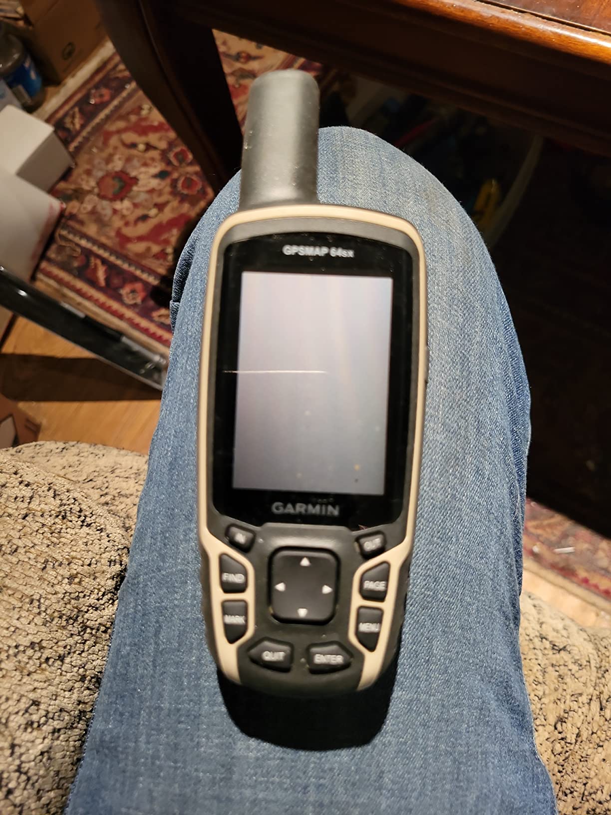
That combination makes it a genuinely complete offline navigator: maps on board, a compass, an altimeter, a rugged case and AA power. It is also the natural upgrade step from an eTrex 22x, since it adds the two sensors the eTrex leaves out and widens the supported satellite systems.
What the compass and altimeter change in the field
A barometric altimeter tracks pressure changes to pin down your altitude, and a 3-axis compass gives you a bearing when the trail has run out and you are picking a line across open ground. Without them you are reading a heading off a receiver that has no idea which way north is once you stop moving.
Multi-GNSS across three systems holds the lock steadier in rough country than a dual-system receiver, even though it is not the same as the multi-band performance of the GPSMAP 66sr. For side-of-valley and long traverse work, that steadiness shows up as a track that does not wander.
Because the maps are preloaded and routable, you can follow a described trail rather than hopping between waypoints, and the 8 GB of internal memory plus a microSD slot means you can add a full regional topographic set when you need more detail than the default view provides.
What you accept for it
Stated battery life is 16 hours in GPS mode, the shortest of the button-driven devices here. On a two or three day trip that is fine. On a week, carry a power bank or plan a battery swap somewhere you can buy cells.
The 160 x 240 screen is dated by modern standards, and the preloaded TopoActive coverage is US and Australia only, so hikers elsewhere need to add their own regional map set. Some buyers also report devices arriving without the full accessory set, so check the box before you leave the house.
2. Garmin GPSMAP 62S for Rugged Compass-and-Altimeter Navigation
Garmin GPSMAP 62S Handheld GPS Navigator
2.6 inch TFT 160 x 240
20 hr on 2 AA
0.21 kg
3-axis compass and altimeter
microSD expandable
Pros
- Rugged sunlight-readable 2.6 inch TFT display
- Built-in 3-axis tilt-compensated compass and barometric altimeter
- 1724 MB onboard memory plus microSD slot
- Wireless sharing of waypoints and tracks
Cons
- Small 160 x 240 low-resolution screen
- Non-rechargeable battery design limits power options
The GPSMAP 62S is the sort of unit you hand to a friend who wants a navigator and nothing else. It carries a worldwide basemap with shaded relief already on it, a 3-axis tilt-compensated compass and a barometric altimeter, and that is a complete navigation tool for marked trails. Nothing on it needs a subscription, a phone or a signal.
Buttons do everything, which sounds old-fashioned until you try operating a touchscreen with wet gloves on a ridge. Two AA batteries run it for around 20 hours, and spare cells are the easiest thing in the world to carry.
Owner reviews are warm about the durability, with 62 percent of ratings at five stars. Reviewers also use it for basic geocaching and photo navigation, marking positions and coming back to them later. Wireless sharing moves waypoints, tracks, routes and geocaches to other compatible Garmin devices, which saves a lot of fiddling at the trailhead.
Storage is the quiet strength. You get 1724 MB onboard plus a microSD slot, so topographic, marine and road map sets all fit on the same device.
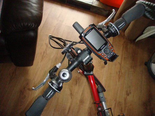
What you get for the effort
Two AA cells and a full day of hiking, with a compass and altimeter you can check without thinking. For a hiker who walks the same trails regularly and wants a dependable compass that also plots a track, the 62S does the job without ceremony.
Its light is 0.21 kg, which is noticeable in a pack but irrelevant on a belt clip or a chest harness. The microSD slot means you can carry a proper regional topo set instead of relying on the base map.
Where it falls short
The 160 x 240 resolution on a 2.6 inch screen is the main complaint in reviews, and it is fair. Reading contour detail at arm length in fading light takes effort, and anyone used to a modern colour screen notices the difference immediately.
The sealed battery design is the other limitation. If you run it flat at the far end of a multi-day trip, you need fresh cells rather than a cable, which is a reasonable trade for reliability but worth knowing before you commit.
3. Garmin Oregon 600 for a Classic Touchscreen Interface
Garmin 010-01066-00 3-Inch Oregon 600
3 inch touchscreen 240 x 400
16 hr battery
0.2 kg
Dual-band GPS and GLONASS
Two AA or NiMH
Pros
- 3 inch sunlight-readable multi-touch display with dual orientation
- Dual-band GPS and GLONASS positioning
- 3-axis compass accelerometer and barometric altimeter
- ANT and Bluetooth wireless transfer
Cons
- Touchscreen less reliable with gloves or wet hands
- Small 1.5 GB internal memory
- Only 16 hours of stated battery life
The Oregon 600 is the touchscreen option in this lineup, and it still does something the button-driven devices cannot: auto-rotate between portrait and landscape. Flip it the way you want to read it and the map follows. That feels minor until you are following a contour on a steep face with one hand on a rock.
Positioning is dual-band GPS and GLONASS, which holds a lock in more places than a single-band receiver, and the full sensor suite is built in. A 3-axis compass, an accelerometer and a barometric altimeter mean you are not relying on a fixed base station or your phone for orientation.
Power is flexible. It runs on two AA batteries or a rechargeable NiMH pack that the unit itself charges, so you can mix lithium primaries for a cold trip and rechargeables for a week of shorter walks.
Where the dual-band receiver earns its keep
Deep tree cover, steep terrain and urban canyons are the conditions where dual-band reception shows up on the map. Reviewers consistently point to solid lock reliability in exactly those places, which is the core problem a handheld exists to solve in the first place.
ANT and Bluetooth let you push routes, tracks, waypoints and geocaches between devices without a cable, so the same basecamp unit can feed a trip. It is a 0.2 kg body with a 3 inch panel, which is a good balance for a hiker who wants map panning without giving up a proper compass.
What you trade away for the touchscreen
Gloves and wet hands. That is the honest limitation, and it is the one line on this device that keeps the average at 4.0 rather than higher. The capacitive screen is responsive with bare hands and frustrating with gloves on.
Internal memory is 1.5 GB with a microSD slot for more, and stated battery life is 16 hours, so on a multi-day trip the NiMH pack is the better choice.
4. Garmin GPSMAP 66sr for Multi-Band Accuracy in Deep Terrain
Garmin GPSMAP 66sr, Hiking Handheld with Expanded GNSS and Multi-Band TechnologyHandheld, 3″ Color Display (010-02431-00), Black
3 inch colour 240 x 400
36 hr standard 450 hr expedition
Multi-band GNSS
16 GB memory
0.23 kg
Pros
- Multi-band GNSS for accuracy under dense canopy and steep terrain
- Very fast satellite acquisition
- 36 hours standard and up to 450 hours in Expedition mode
- 3 inch sunlight-readable colour screen with button operation
- Free BirdsEye downloads and routable TopoActive maps
Cons
- Internal battery is not user-replaceable
- Charging port failures reported after about a year
- Shuts down in extreme cold near -30C
The GPSMAP 66sr is the most accurate navigator on this list, and the reason is multi-band GNSS. It listens to two frequency bands at once and corrects itself against interference, which is what keeps a position steady under heavy tree cover, in steep country and in urban canyons. Around 80 percent of reviews are five stars and owners describe the satellite lock as close to instant.
It is also the one to pick if you are staying out for a long time. Standard battery life is 36 hours, and Expedition mode stretches that to about 450 hours by dropping the tracking interval. Maps are on board already with routable TopoActive detail, and you can pull free BirdsEye satellite imagery straight to the device with no annual map subscription.
Sixteen GB of internal memory holds a lot of regional mapping, and the 3 inch colour screen at 240 x 400 is driven by physical buttons, so it works with gloves on.
How multi-band changes your day
Without it, a receiver wanders. A wandering position shows up as a track that cuts corners, a waypoint that plots in the wrong place and a distance-to-goal that never quite arrives. Multi-band largely removes that error, so the numbers on the screen match the ground under your boots.
Expedition mode is the other half of the offer. On a week-long trip you can run for days on a single charge and still have a track recorded the whole way, which is the single most useful feature on a long traverse.
What reviewers complain about
The battery is sealed inside. That is a real constraint in cold weather, and reviews report shutdowns around -30C where the internal cell gives up. Reviewers also report charging port failures after roughly a year of use, and the port is micro-USB rather than USB-C.
Some buyers outside North America found the preloaded map regions did not match what was listed, so check coverage for your area before you commit to this model.
5. Garmin Oregon 550T for Geotagged Photo Navigation
Garmin Oregon 550T 3-Inch Handheld GPS Navigator with 3.2MP Digital Camera (U.S. Topographic Maps)
3 inch colour 480 x 272
16 hr battery
6.8 oz
3.2MP geotagged camera
850 MB plus microSD
Pros
- Rugged waterproof 3 inch colour touchscreen readable in direct sunlight
- Built-in 3.2MP geotagged camera
- 3-axis tilt-compensated compass and barometric altimeter
- Holds satellite lock in any orientation with US topographic maps
Cons
- Weak or missing documentation
- Only 850 MB internal memory with microSD under the battery
- Camera use drains batteries noticeably
The Oregon 550T is the pick if you photograph the trail as well as walk it. A 3.2 megapixel autofocus camera with 4x digital zoom sits in the body and tags every frame with coordinates, so you can mark a viewpoint, come back to camp and navigate straight to it the next morning. Roughly 71 percent of reviews are five stars, and long-term owners specifically call out how useful that pairing turned out to be.
The rest of the package is a proper hiking navigator. A 3 inch sunlight-readable colour touchscreen, a 3-axis tilt-compensated compass, a barometric altimeter and US topographic maps already loaded, plus customizable dashboards that suit hiking, geocaching or driving.
At 6.8 ounces it is one of the lighter devices here, it is built to be taken to water, and power comes from two AA batteries or the included lithium-ion pack.
Why the camera changes the trip
Photo navigation is the feature that separates this from everything else on the list. You can drop a waypoint, shoot a reference frame, and use the photo viewer later to find your way back without guessing at a bearing or trying to describe a ridgeline in a report to someone at home.
For anyone already carrying a camera, it removes a device from the pack entirely. Our guide to GPS units used for photo scouting on a hike covers how to use coordinates to set up a shot rather than only to find a location.
Where it frustrates owners
Documentation is the loudest complaint. Owners end up relying on community wikis and forums to work out initial setup, which is not a good look for a device aimed at beginners.
Memory is 850 MB and the microSD slot sits under the battery, so swapping cards means opening the compartment. Camera use drains the batteries noticeably faster than pure navigation, and the resistive touchscreen responds poorly to gloves.
6. Garmin GPSMAP 66i for Satellite SOS and Two-Way Messaging
Garmin GPSMAP 66i, GPS Handheld and Satellite Communicator, Featuring TopoActive mapping and inReach Technology (Renewed)
3 inch colour 240 x 400
35 hr tracking 200 hr expedition
inReach SOS and messaging
TopoActive maps
Pros
- Full handheld navigator combined with inReach two-way messaging and interactive SOS
- Preloaded TopoActive maps plus direct-to-device BirdsEye imagery with no annual map subscription
- 35 hours in 10-minute tracking and 200 hours in Expedition mode
- Works with the Garmin Explore app for waypoints and field data
Cons
- Satellite messaging and SOS require an active paid subscription
- Renewed condition with a 90-day limited warranty
- Does not include multi-band positioning
The GPSMAP 66i is the device to consider if the reason you want a handheld is the safety net rather than the map. It does both jobs. On the navigation side you get a 3 inch sunlight-readable colour screen with preloaded TopoActive mapping and free direct-to-device BirdsEye imagery. On the safety side it carries inReach technology, so an interactive SOS and two-way text messaging run over the Iridium satellite network.
That second half is the part to read the small print on. The hardware is one device, but the messaging needs an active subscription. Owners buy it expecting an emergency button and then discover the button does nothing until a plan is running. Navigation itself never needs a plan.
Battery life is 35 hours in 10-minute tracking mode and 200 hours in Expedition mode. Cellular connectivity, when you happen to have signal, adds active weather forecasts and live geocaching.
What the subscription actually buys
Two-way satellite text, live location tracking and interactive SOS routed to a staffed response centre. About 74 percent of reviews are five stars, and the navigation and battery performance draw most of that praise.
Think about total cost of ownership before buying, not just the hardware. The plan is ongoing, and it is the single biggest objection that hikers raise about satellite communicators in forum threads.
What to check before you commit
This listing is a renewed device with a 90-day limited warranty, which is meaningfully shorter than the one-year cover on new models. Treat it accordingly and factor in the likely replacement horizon.
It also lacks multi-band positioning, so in deep canopy or steep terrain the GPSMAP 66sr will hold a tighter fix. If your trips are in that kind of ground and safety is not the main concern, the 66sr is the stronger navigator.
7. Garmin Montana 760i for a Large Screen and a Built-In Camera
Garmin Montana® 760i, GPS Handheld Navigator, Built-in Camera, inReach®
5 inch touchscreen 800 x 480
24 hr GPS 432 hr expedition
8MP camera
MIL-STD 810 and IPX7
14.5 oz
Pros
- Large 5 inch glove-friendly touchscreen easy to read while moving
- inReach two-way messaging live tracking and interactive SOS
- Built-in 8MP geotagged camera
- MIL-STD 810 and IPX7 rugged water-resistant construction
- 32 GB memory with downloadable satellite imagery
Cons
- Heavy and bulky at 14.5 ounces for a pack-free day hike
- inReach satellite services require an active subscription
- Smaller review base for long-term reliability
The Montana 760i is the biggest screen on this list at 5 inches with an 800 x 480 panel, and that size changes what you can do on a device. Route planning, reading contour detail and checking a track against the terrain all get easier when you are not squinting at a 2.2 inch display. About 75 percent of reviews are five stars for exactly that reason.
It also adds a built-in 8 megapixel autofocus camera that geotags every frame, plus inReach satellite communication for two-way messaging, live location tracking and interactive SOS. Maps come preloaded, and 32 GB of memory holds downloadable high-resolution satellite imagery for realistic overhead views.
Construction is rated MIL-STD 810 for thermal, shock and vibration, and IPX7 for water resistance. Battery life is 24 hours in GPS mode, stretching to 432 hours in expedition mode between charges.
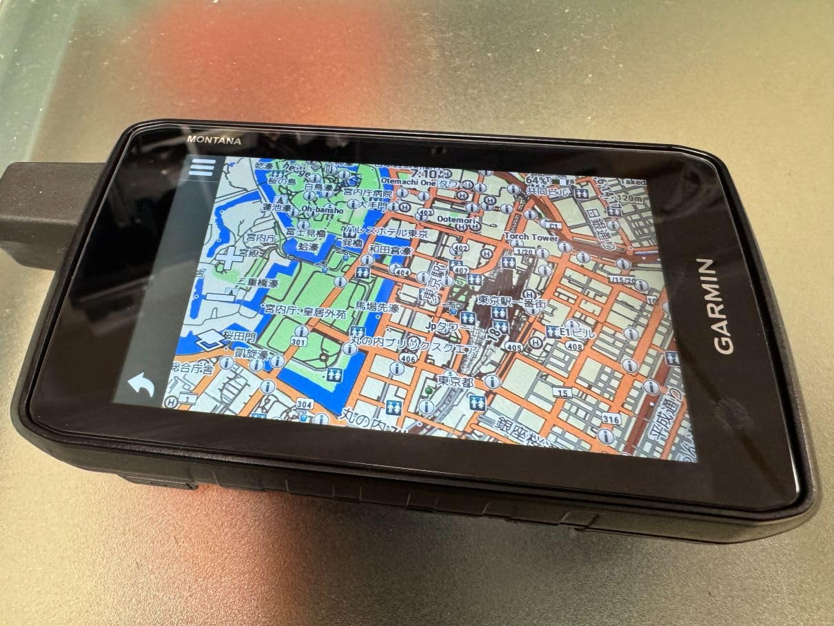
Positioning supports GPS and Galileo, and touch operation still works with gloves, which is why the Montana line suits cold-weather use and anyone spending time on a handlebar or in a vehicle. Downloads of satellite imagery also let you build waypoints from visible landmarks.
That matters most near cliffs, rivers and avalanche terrain, where a contour line on its own tells you very little about what is actually there.
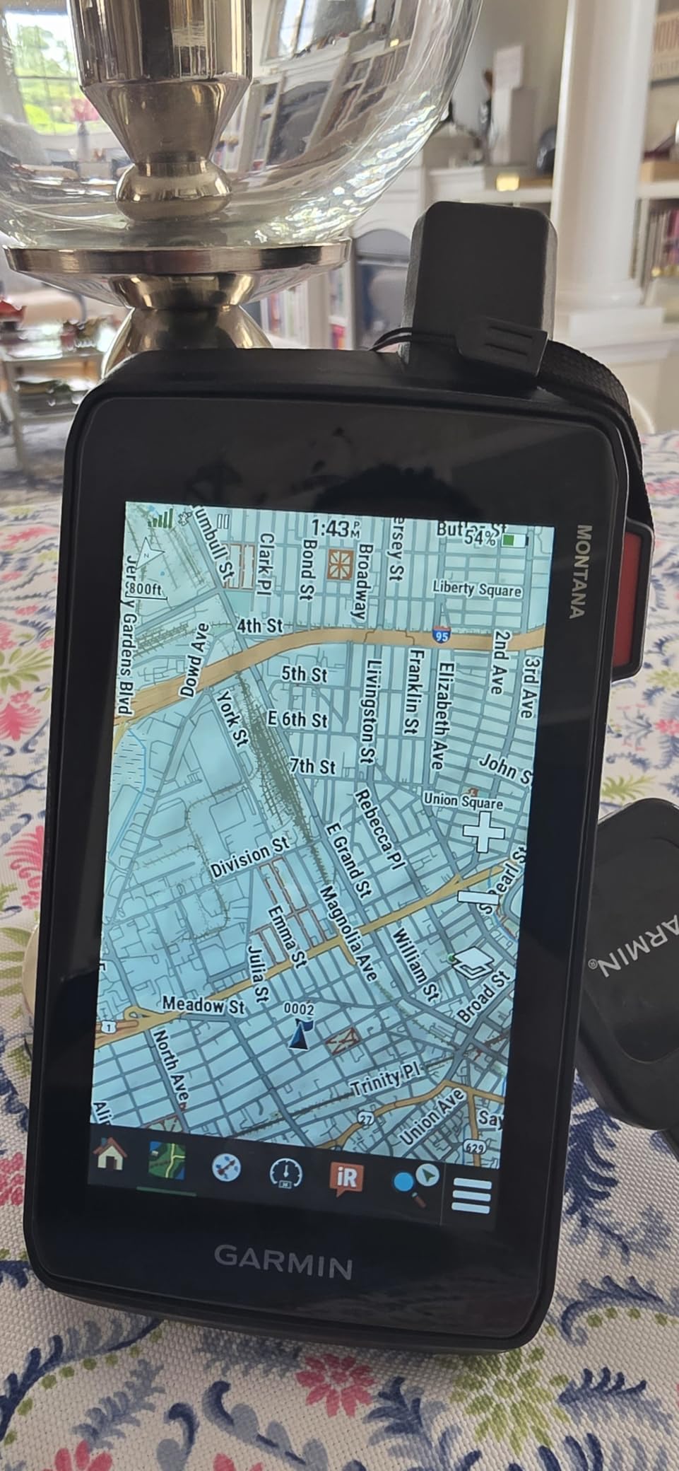
Where the big screen pays off
Any trip that mixes trail with road. This device is built for the handover between a highway, a forest track and a footpath, and reading a route overview before you start saves a lot of stopping and fiddling once you are moving.
Satellite imagery gives you the visual reference a topographic map cannot, which is what makes it useful for planning a line across unfamiliar country rather than simply following a path that is already there.
What the size costs you
It weighs 14.5 ounces. On a pack-free day hike that is the heaviest device here by a wide margin, and the bulk is noticeable on a hip belt. Mounting accessories are sold separately if you plan to put it on a handlebar or a chest harness.
The inReach features need a subscription, and with only 39 ratings on record, the long-term reliability picture is thinner than the models with thousands of reviews behind them.
8. Garmin eTrex 10 for a Lightweight Rugged Backup Unit
Garmin 010-00970-00 eTrex 10 Worldwide Handheld GPS Navigator
2.2 inch monochrome 128 x 160
20 hr on 2 AA
5 ounces
IPX7
WAAS HotFix and GLONASS
Pros
- Extremely rugged waterproof build that survives drops and harsh weather
- 20 hours of use from two AA batteries
- WAAS-enabled receiver with HotFix and GLONASS
- Preloaded worldwide basemap that works without setup
- Very large review base indicating a proven platform
Cons
- Tiny monochrome 128 x 160 display with no topographic detail
- Very limited 6 MB internal memory with no map expansion
- Basic button-only interface with no wireless sharing
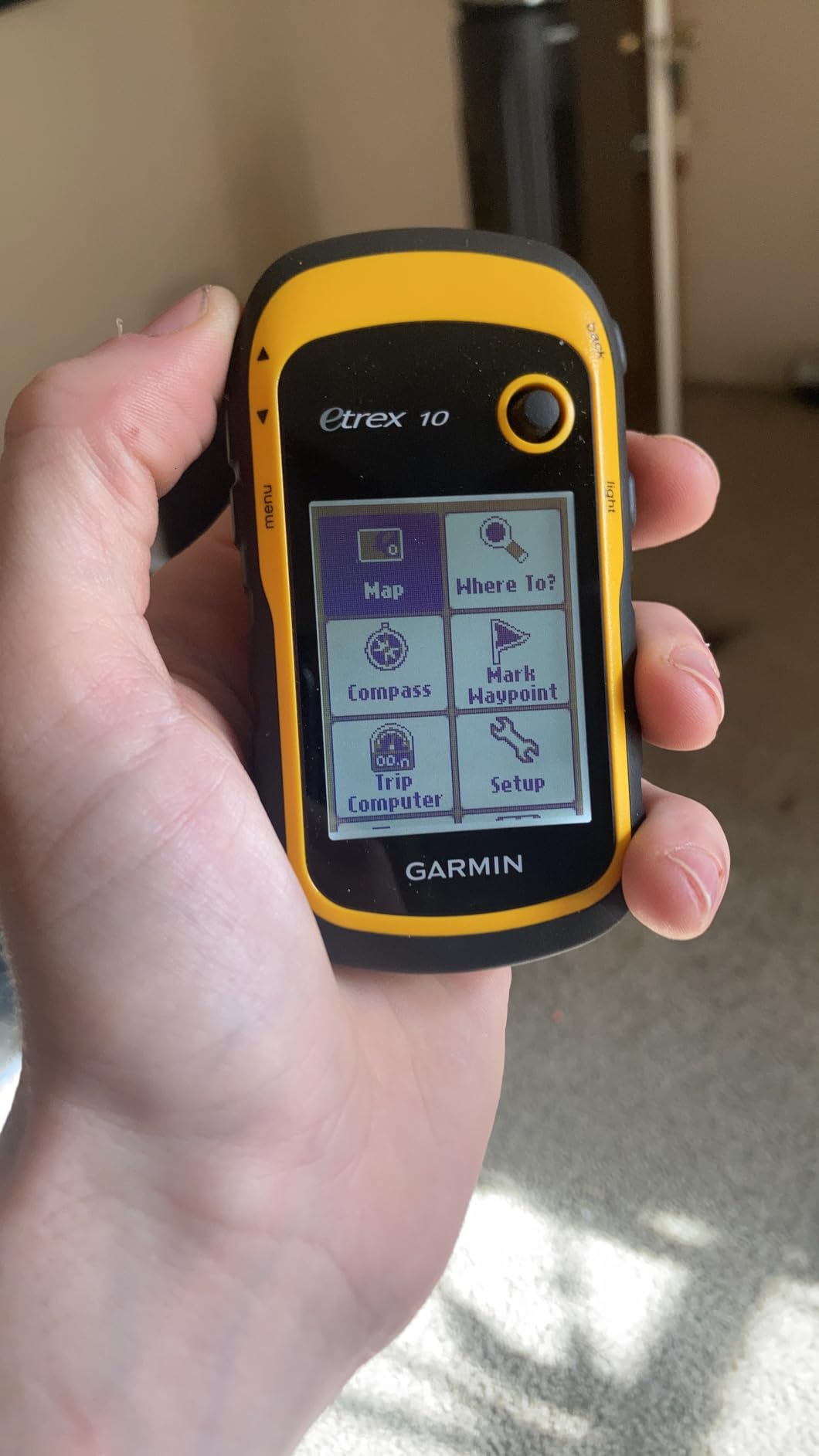
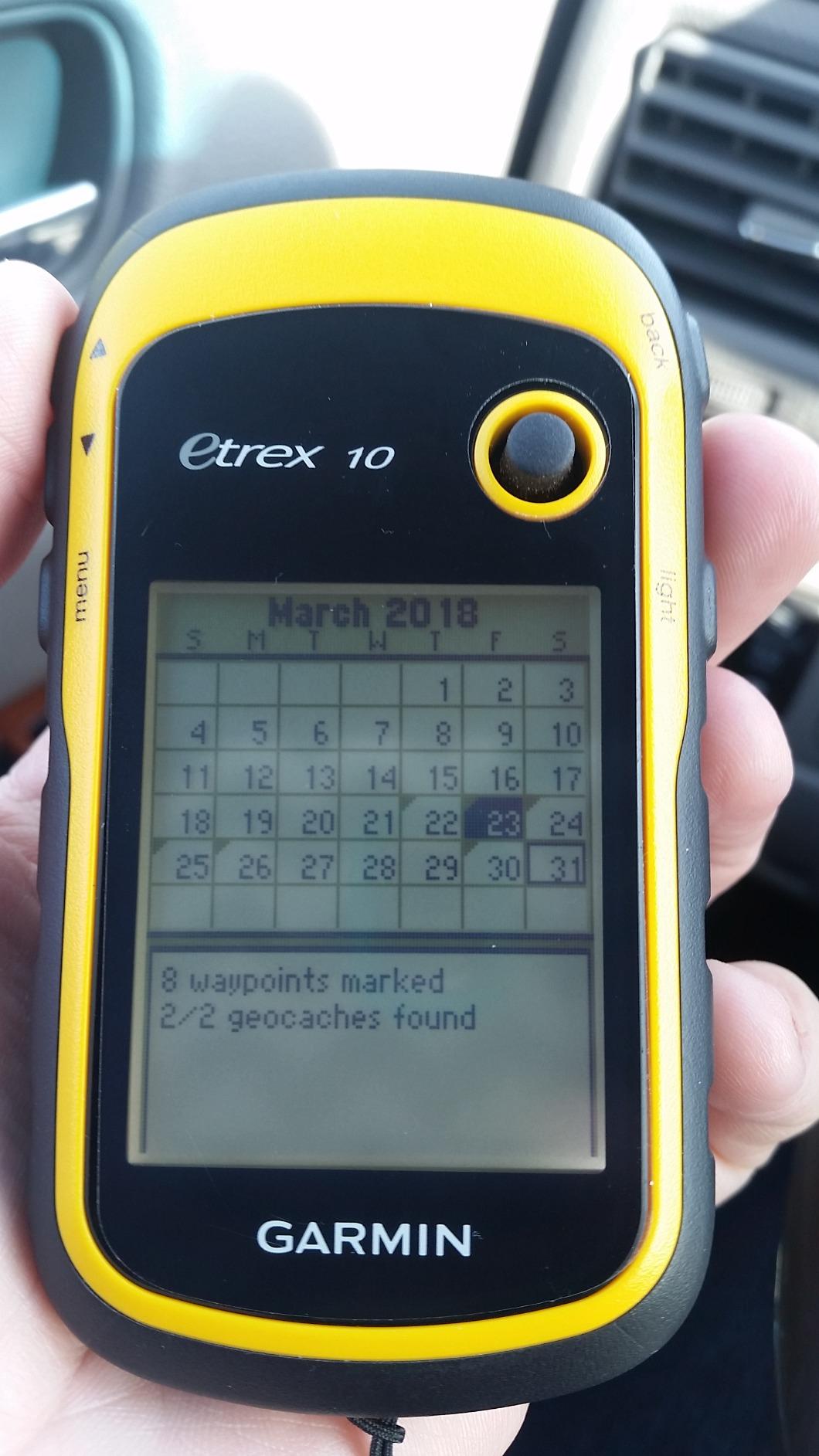
The eTrex 10 is the most proven navigator in this roundup by a distance, with over 6,400 ratings behind it. Owners treat it as the thing that stays in the bottom of the pack for a decade because it cannot be let down. It is IPX7 rated, weighs 5 ounces, takes two AA batteries and runs about 20 hours on a charge.
It is also the simplest. A worldwide basemap is preloaded, so it will tell you roughly where you are on the planet with no bars and no setup at all. A WAAS-enabled receiver with HotFix and GLONASS support gives fast, reliable positioning, and it records tracks with high and low elevation points so you can estimate time and distance between them.
Sixty-six percent of ratings are five stars. The eTrex 10 keeps earning that because it does a narrow job completely.
Paperless geocaching is supported, and the device mounts to standard spine mounts, so it works as a secondary alongside a phone or a primary handheld without a second ecosystem to learn.
Worth noting for anyone comparing against a wrist wearable: trackers and smartwatches send their data through a phone, and that phone needs a connection. A dedicated unit receives its position directly from satellites, which is why devices like the GPS watches we tested and the GPS running watches in that category are not substitutes for it in a dead zone.
Why it still earns a place
Two AA batteries mean you never have a dead device in a place with no resupply. Spare cells weigh almost nothing, and lithium primaries hold up far better in cold weather than a sealed lithium-ion pack.
For hiking on marked routes, recording a track to look at later, or carrying a backup alongside a phone, it is more than enough.
Where it stops being enough
There is no topographic detail. The 2.2 inch monochrome screen at 128 x 160 shows a coastline outline, a road and a dot for where you are standing. Contours, trails and elevation shading are simply not there, and with 6 MB of memory and no way to add more, that cannot be fixed.
It is also a button-only device with no wireless sharing, so moving waypoints to or from a phone takes a cable and some patience.
9. Garmin eTrex 22x for the Best Value Topographic Navigation
Garmin 010-02256-00 eTrex 22x, Rugged Handheld GPS Navigator, Black/Navy
2.2 inch colour 240 x 320
25 hr on 2 AA
4.96 oz
8 GB plus microSD
Routable topo maps preloaded
Pros
- Routable TopoActive maps preloaded for hiking and cycling
- GPS plus GLONASS for canyons and tree cover
- 25 hours of GPS-mode battery on two AA batteries
- 8 GB internal memory plus microSD slot
- Weighs under 5 ounces
Cons
- Small 2.2 inch colour screen with modest 240 x 320 resolution
- No touchscreen so all navigation is button driven
- No compass or altimeter in the base unit
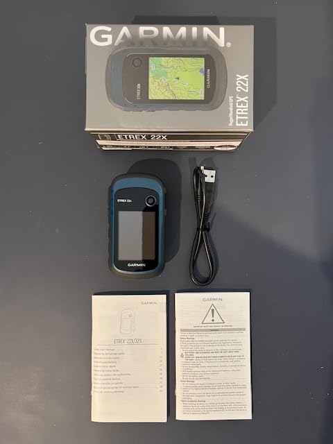
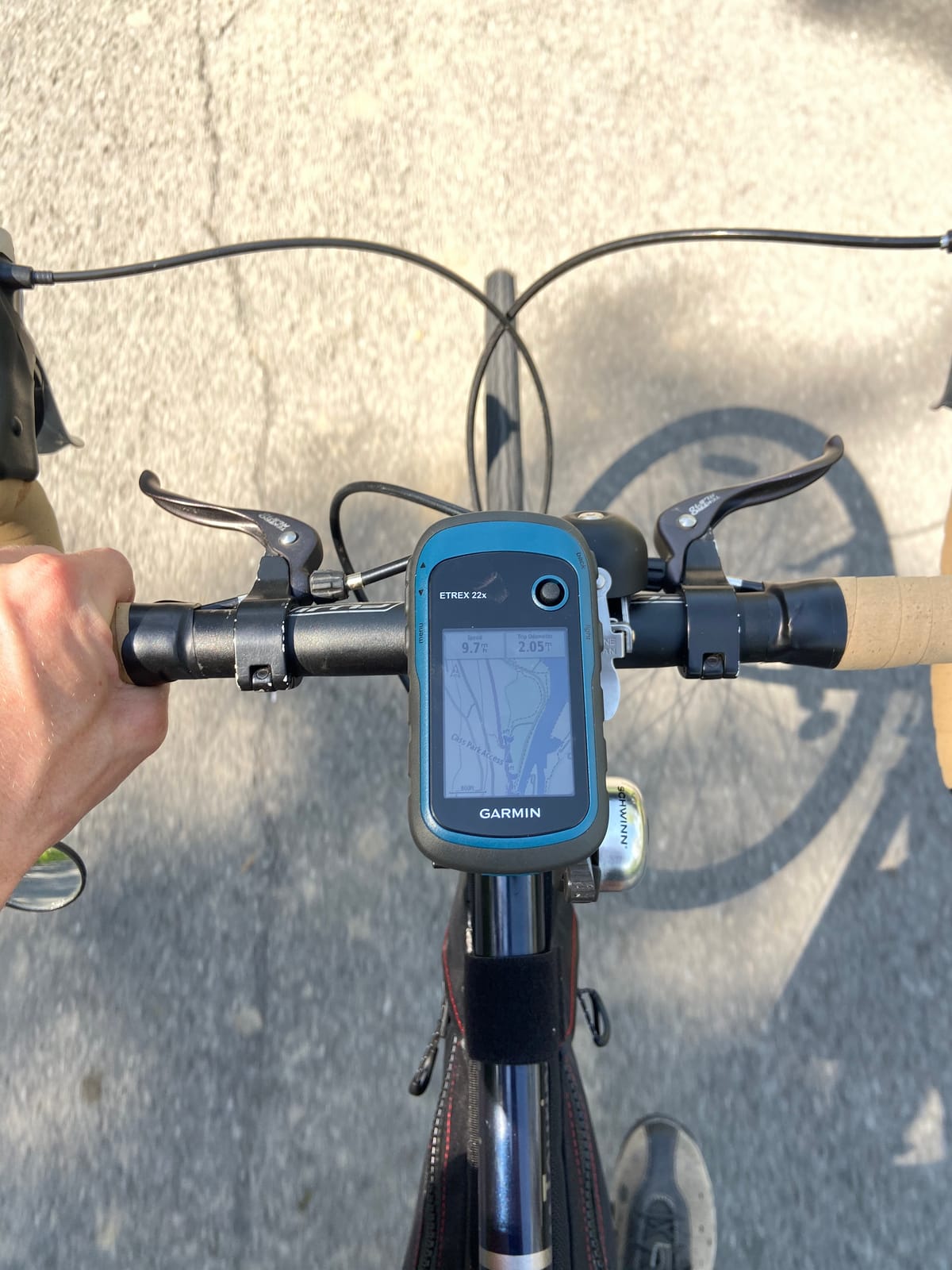
The eTrex 22x is the device we point most people toward. It is the most straightforward way on this list to get genuine topographic navigation: TopoActive maps with routable roads and trails are preloaded, and they work with no signal from the moment you switch it on. With 2,064 ratings at 4.3 stars, it also has a far larger owner base than most of the models here.
It runs 25 hours in GPS mode on two AA batteries and weighs 4.96 ounces, so it costs you almost nothing in pack weight. GPS and GLONASS support keeps it tracking in canyons and under heavy tree cover, and the button layout works with gloves on.
Eight GB of internal memory plus a microSD slot means you can add regional map sets without replacing what is already there.
Bluetooth is present, and it pairs with Oregon, GPSMAP 62, GPSMAP 64, GPSMAP 66, the eTrex 10, 20 and 30, and inReach devices, so it fits into an existing Garmin kit rather than being an island of its own.
It also supports paperless geocaching, which turns a hiking trip into a search for caches with the coordinates stored on the device itself.
What you gain over a bare-metal unit
Real maps with trails drawn on them, which is the difference between knowing roughly where you are and knowing which way the drainage runs. Routable trails mean you can follow a path instead of hopping between waypoints.
The extra memory is the quiet win. Download a full regional topographic set on a microSD card and the device becomes a proper backcountry navigator for exactly the area you are walking.
What you give up
There is no compass and no altimeter in the base device. You can add a sensor module, but out of the box you are relying on the receiver for a heading and you lose the barometric altitude that helps you place yourself against a contour line.
The 2.2 inch colour screen at 240 x 320 is small, and with no touchscreen every map interaction goes through the buttons. It carries no satellite communication or cellular hardware, so it cannot send anything at all.
How to Choose a Handheld GPS That Works With Zero Bars
Every model on this list already works offline, so the real choice is about which compromises you can live with. These are the decisions that actually change how a device performs in the field, in the order we would think about them.
Decide what fails without a connection first
Navigation, tracks, waypoints, breadcrumb routing and stored maps all run on satellite reception and stored data, with no plan attached. Interactive SOS, two-way satellite messaging and live location sharing all require an active subscription. Garmin is effectively the only brand still selling serious handhelds at scale, so if you want a different manufacturer your realistic options shrink to phones, tablets and a paper map.
Buying a communicator and expecting a mapping device is the most common mistake in forum threads, and buying a navigator and expecting an SOS button is the mirror image of it. Work out which one you actually need before you spend, because the two categories overlap less than people assume.
Pick a power strategy for the length of your trip
There are three approaches. Replaceable AA batteries, as on the eTrex 10, eTrex 22x, GPSMAP 62S, GPSMAP 64sx and Oregon 600, let you carry spares and are the safest option in cold weather. Sealed lithium-ion, as on the GPSMAP 66sr, GPSMAP 66i and Montana 760i, gives a longer runtime per charge but leaves you with nothing if it dies on day four, and reviewers report shutdowns in extreme cold on some models.
Treat manufacturer hours as a lab figure rather than a promise. A backlight kept bright, heavy satellite tracking and a cold soak all cut real runtime noticeably, so look for a unit with an Expedition mode if you are away for days. The 66sr manages around 450 hours that way and the Montana 760i around 432.
Pack a small power bank regardless. It roughly doubles the sealed-battery devices and it is the difference between a dead unit and a dead trip.
Maps decide whether the device is useful
A base map with a coastline and a road tells you almost nothing under a tree canopy in a valley. Look for preloaded TopoActive routing on the eTrex 22x, GPSMAP 64sx and GPSMAP 66i, downloadable BirdsEye imagery on the 66sr, or a microSD slot so you can load a full regional topographic set. On the eTrex 10 the preloaded basemap is all you will ever get, since it has 6 MB of memory and no expansion.
Also check regional coverage. Two of the models on this list ship with maps limited to the US and Australia, so hikers elsewhere need to add their own set before leaving home.
Multi-GNSS and multi-band are not the same thing
Multi-GNSS means the receiver listens to several satellite systems at once, such as GPS, GLONASS and Galileo. Multi-band means it listens to two frequency bands and corrects the interference between them. The second is a genuine step up under dense canopy, in steep country and in urban canyons, and it shows up as a steadier position and a cleaner recorded track.
Worth paying for if your terrain is wooded, alpine or canyon-based. Skip it if you are on open trail or following marked paths, where the difference will not register on the map.
Buttons, screens and gloves
This is a field decision rather than a spec sheet one. Button-driven models such as the eTrex 22x, GPSMAP 62S, GPSMAP 64sx, GPSMAP 66sr, eTrex 10 and Montana 760i are predictable with wet gloves and rain. Touchscreens such as the Oregon 600 and Oregon 550T are faster for map panning, and the Montana panel is the most responsive in the group, but resistive screens in particular get sluggish the moment gloves go on.
Screen size is a weight trade rather than a preference. Moving from a 2.2 inch panel to a 3 inch panel is barely noticeable in a pack, while the Montana 760i at 5 inches and 14.5 ounces changes a pack-free day hike completely.
Handheld GPS vs Your Phone With Offline Maps
Your phone already has a GPS receiver and it will keep giving you a position with zero bars. That is not in dispute. What it will not do reliably is give you the map, the battery or the confidence that matters in a dead zone, and long-term owners who made the switch report both sides honestly.
The phone wins on screen size, on apps and on everything that needs a connection. Downloaded offline mapping is genuinely capable now, and for a day hike on a well-marked trail it is the sensible answer. Former Garmin handheld users who moved to phones describe the transition as powerful and worth the trouble because of how much offline map detail a modern handset carries.
The handheld wins on the three things that matter most when coverage ends. Battery life is measured in tens of hours rather than a partial day, because the phone is also running a bright screen, a cell radio searching for a signal and a camera app. A phone screen in gloves is a frustrating experience in a way a physical button never is. And a phone can be lost, dropped in a river or stolen, while a handheld on a chest harness stays on your body.
Our recommendation is to treat the two as different tools. Use the phone for planning, tracking and the map detail you can load, and carry a handheld for the trip where you leave coverage behind. That combination is the most common setup among experienced hikers in forum discussions, and it costs less than upgrading a phone.
Setting Up Your GPS Before the Hike
The most common failure we see is not a broken device. It is a device that was never loaded with the right map for the area. Work through this list at home, on wifi, the night before.
Confirm the map region covers the ground you will walk on, and add a regional topographic set on a microSD card if the preloaded coverage falls short. Update the firmware if a newer version exists. Set the coordinate format you actually understand, and mark your trailhead and intended camp as waypoints while you still have a reference point.
Then prove it works offline. Put the device in airplane mode, step outside or move away from wifi, and confirm it still locks onto satellites and still draws the map. If it has messaging, send a test message and confirm it goes out. Charge the batteries fully and pack spares in a sealed bag.
Carry a paper map and a compass alongside whatever electronic device you choose. A backup costs almost nothing, and it is the answer when the screen freezes, the battery is dead or the device is simply lost.
What a GPS Cannot Do For You
A GPS will happily draw a straight line between two waypoints, and that line may cross a cliff, a river or a snowfield that will kill you. Straight-line routing is the most dangerous thing these devices do, and you need to check the route against the map before you follow it rather than after.
It also cannot judge snowpack, rockfall, water level, wildfire closures or a river in spring. Live weather needs a connection, which is exactly what you will not have. Position accuracy degrades under heavy canopy and in deep valleys, and elevation from a barometric altimeter drifts as the weather changes unless you recalibrate it.
And it cannot talk to anyone without a subscription and a clear view of the sky. Know what your device cannot do before you rely on it, and treat every electronic navigation aid as a tool rather than an answer.
Frequently Asked Questions
Does a GPS work without cell service?
Yes. A GPS unit works without cell service by design. It receives positioning signals directly from navigation satellites, so your location, track and stored maps keep working with zero bars. Only live data such as weather updates needs a connection, and any feature that sends information out, like two-way satellite messaging or interactive SOS, requires a paid plan.
What is the best handheld GPS without a subscription?
The Garmin GPSMAP 64sx is the strongest subscription-free option, with preloaded routable TopoActive maps, a 3-axis compass and a barometric altimeter built in, plus multi-GNSS reception. The eTrex 22x is the value alternative if you want topographic detail on a smaller budget, and the eTrex 10 is the simplest unit of all. None of the three needs a plan for navigation.
Can I use my phone for GPS hiking with no signal?
Yes, a phone keeps giving you a position with zero bars because the receiver is independent of the cellular network. What you lose is battery endurance, glove-friendly operation and the guarantee that your maps are already downloaded for the exact ground you are walking. Handheld devices run for tens of hours on spare cells and keep working if your phone is lost or dead.
Can a handheld GPS send an SOS without a subscription?
No. The GPSMAP 66i and the Montana 760i both have inReach hardware, but interactive SOS and two-way satellite messaging only function while an active subscription is running. Navigation, tracking and maps on those same devices work with no plan at all, so check the messaging terms before you buy on the assumption that the SOS button will respond.
How long do AA batteries last on a handheld GPS?
Rated figures run from about 16 hours on the GPSMAP 64sx to 25 hours on the eTrex 22x, measured in standard GPS mode with the backlight behaving itself. Real runtime drops in cold weather, with the screen kept bright and with continuous satellite tracking, which is why devices with an Expedition mode are worth having on longer trips.
Final Verdict: Which GPS Unit Should You Carry
The Garmin GPSMAP 64sx is our pick for most hikers navigating without cell service, because the compass and barometric altimeter are in the box alongside preloaded routable topographic maps. Nothing about it needs a subscription, and 4.5 stars across 940 ratings is a well-validated platform rather than a new release with an unproven record.
Go for the GPSMAP 66sr if you hike in dense forest, steep country or canyons and want the most accurate position available. Go for the eTrex 22x if the budget matters more than the sensor suite, and for the eTrex 10 if you only need a plain reliable navigator to carry as a backup. Add the GPSMAP 66i or the Montana 760i only when you are buying specifically for the satellite SOS, and factor the ongoing plan into that decision.
Whatever you choose, update it, load the right maps and test it in airplane mode before you leave. That preparation matters more than the model, and it is the difference between a device that works and one that does not.