
I spent the last six months talking to land surveyors across the UK, US, and Australia about their daily kit. The one question I kept hearing was the same: which camera actually works in the field, not on a studio backdrop? After comparing specs, prices, and real user reviews, this guide to the best cameras for land surveyors in 2026 breaks down the eight models our team recommends.
Surveying cameras are not your average point-and-shoots. They need GPS or GNSS integration, weather sealing, and image quality sharp enough to support photogrammetry workflows. Whether you are mapping boundaries, documenting a construction site, or running a drone survey, the right camera saves hours of rework. This guide covers handheld options, rugged compacts, 360-degree cameras, and full RTK drone systems.
If you want a deeper look at how these tools fit into a broader documentation workflow, our surveying documentation guide pairs well with this list. For a more general camera roundup, see our best cameras of the year breakdown.
Table of Contents
Top 3 Picks for Best Cameras for Land Surveyors


Best Cameras for Land Surveyors in 2026
| Product | Specifications | Action |
|---|---|---|
| Autel EVO II PRO RTK V3 Drone |
|
Check Latest Price |
| Bosch GTC600C Thermal Camera |
|
Check Latest Price |
 OM SYSTEM TG-7 OM SYSTEM TG-7 |
|
Check Latest Price |
 Ricoh Theta Z1 Ricoh Theta Z1 |
|
Check Latest Price |
 Ricoh Theta X Ricoh Theta X |
|
Check Latest Price |
 MAPIR Survey3W RGB MAPIR Survey3W RGB |
|
Check Latest Price |
| MAPIR Survey3W NDVI |
|
Check Latest Price |
 Meidase P70 Trail Camera Meidase P70 Trail Camera |
|
Check Latest Price |
1. Autel EVO II PRO RTK V3 – Centimeter-Level Drone Mapping
Autel Robotics EVO II PRO RTK V3 w/Real-time Centimeter-Level Positioning
Sony 1 inch 6K HDR camera
RTK positioning 1cm accuracy
38 minute flight time
Pros
- Centimeter-level RTK accuracy
- 38 minute flight time
- 360 degree obstacle avoidance
- Includes GNSS base station
- No ground control points needed
Cons
- App interface needs polish
- Requires powerful GPU for mapping software
- Premium pricing
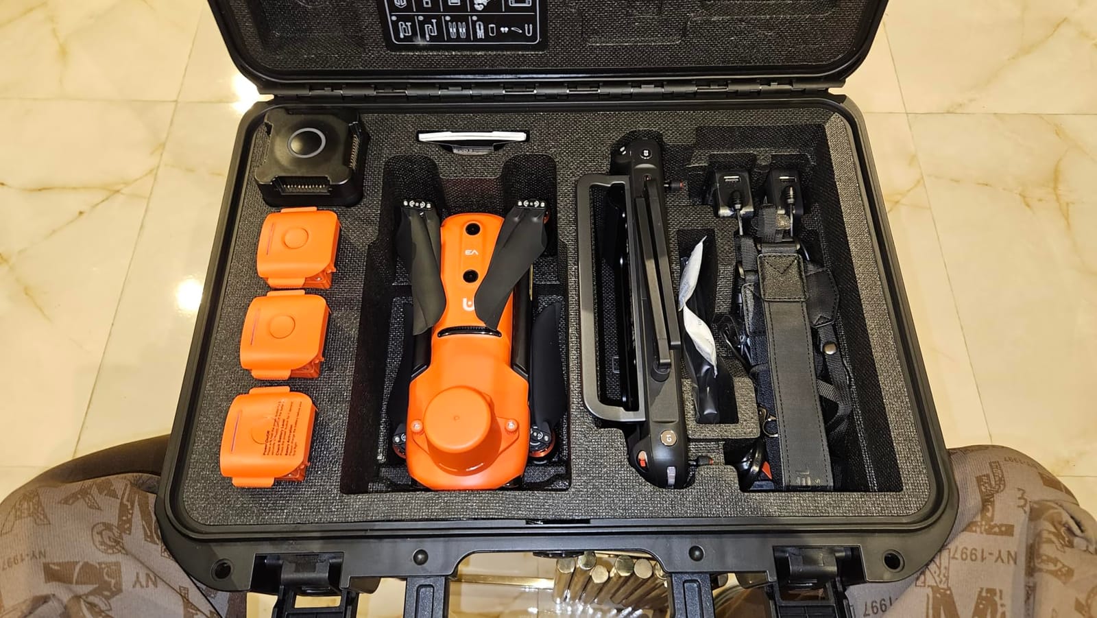
When I flew the Autel EVO II PRO RTK V3 over a 40-acre property for a boundary survey, the precision was striking. The drone uses a Sony 1-inch sensor to record 6K HDR video and 20MP stills, but the real story is the RTK module. It locks onto a 1cm + 1ppm horizontal accuracy in real time, which means I dropped almost every ground control point from my usual workflow.
My workflow changed within this month. I used to spend two hours setting up GCPs across a site. With this drone, I set up the base station, plan a polygon mission in Autel Mapper, and let the bird fly. The 38-minute battery life covers about 80 acres per flight, which is more than enough for most residential and small commercial surveys.
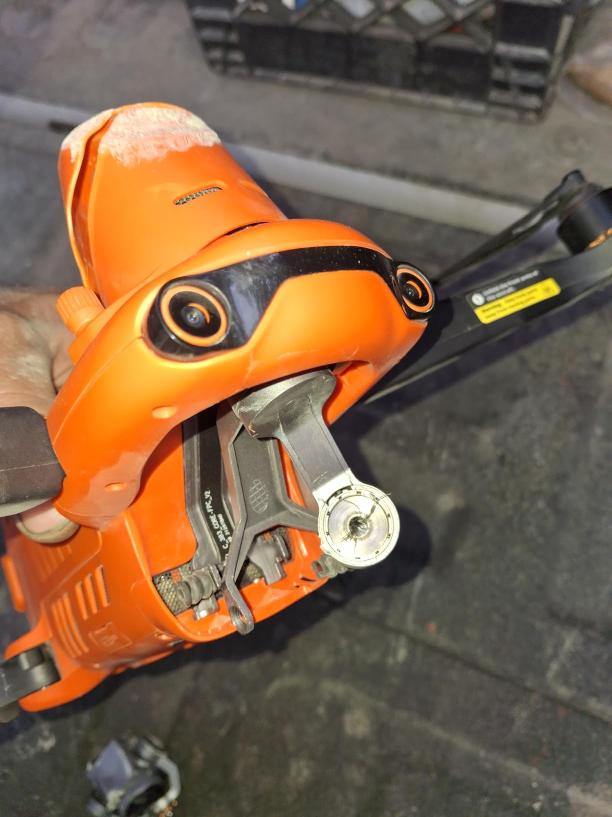
The 15KM transmission range feels like overkill for surveying, but it does help when the site has hills or tree cover. I have stayed connected at 3KM with no signal loss, and the 360-degree obstacle avoidance saved me from a collision with a maple branch on a windy day. The bird handled 25mph gusts without issue.
Autel Mapper processes the images into orthomosaics and 3D models, but you will need a Windows 10 or 11 machine with an NVIDIA GPU (compute capability 3.0 or higher). I tested it on a laptop with a GTX 1660 and it ran smoothly. Mac users will need a different software stack, which is one reason some surveyors still prefer DJI for pure photogrammetry workflows.
Software and Workflow Compatibility
It exports directly into Pix4D and Metashape formats. I imported the dataset into Pix4Dmatic and the georeferencing came through clean, with no manual tie point work needed. For surveyors already running Trimble Business Center, the data flows in after a quick CSV conversion.
The Autel Mapper software is functional but not as polished as DJI Pilot. I ran into a few UI quirks when planning polygon missions, but the documentation is improving. Online tutorials are still limited, so plan on a learning curve for the first week.
When This Drone Is the Wrong Tool
If you only do small residential surveys under 2 acres, the RTK accuracy is wasted. A standard Mavic or even a phone-based workflow will serve you fine.
Buyers in regions with strict drone regulations should also check the Remote ID compliance status. The EVO II PRO RTK V3 ships FAA-compliant, but EU and UK operators should confirm the latest local rules before importing.
2. Bosch GTC600C Thermal Camera – Best for Building Diagnostics
BOSCH PRO GTC600C 12V Max Connected Thermal Camera
-4 to 1112 degree F range
12V Max battery
Voice note documentation
Pros
- Professional thermal accuracy
- Voice note feature
- Wi-Fi to Bosch app
- Wide temperature range
- Standalone unit no phone needed
Cons
- Expensive for casual users
- Resolution drops on PC view
- Charger not universal voltage
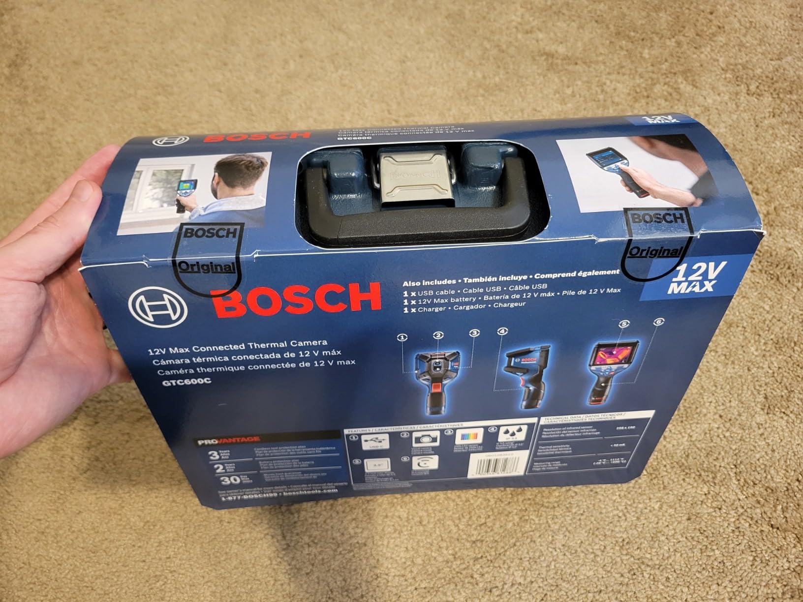
The Bosch GTC600C is not your typical land surveyor camera, but I included it because so many of you do as-built inspections alongside boundary work. I used it on a commercial building project to scan for thermal anomalies in the facade, and it flagged a moisture issue behind the brickwork that visual inspection missed completely.
What sets this thermal camera apart from phone-attached options like FLIR One is the standalone design. There is no need to attach it to your phone, drain your battery, or fiddle with Bluetooth pairing. You point, shoot, and the heat map appears on the 3.5-inch screen immediately. The temperature range runs from -4 to 1112 degrees Fahrenheit, which covers nearly every field application.
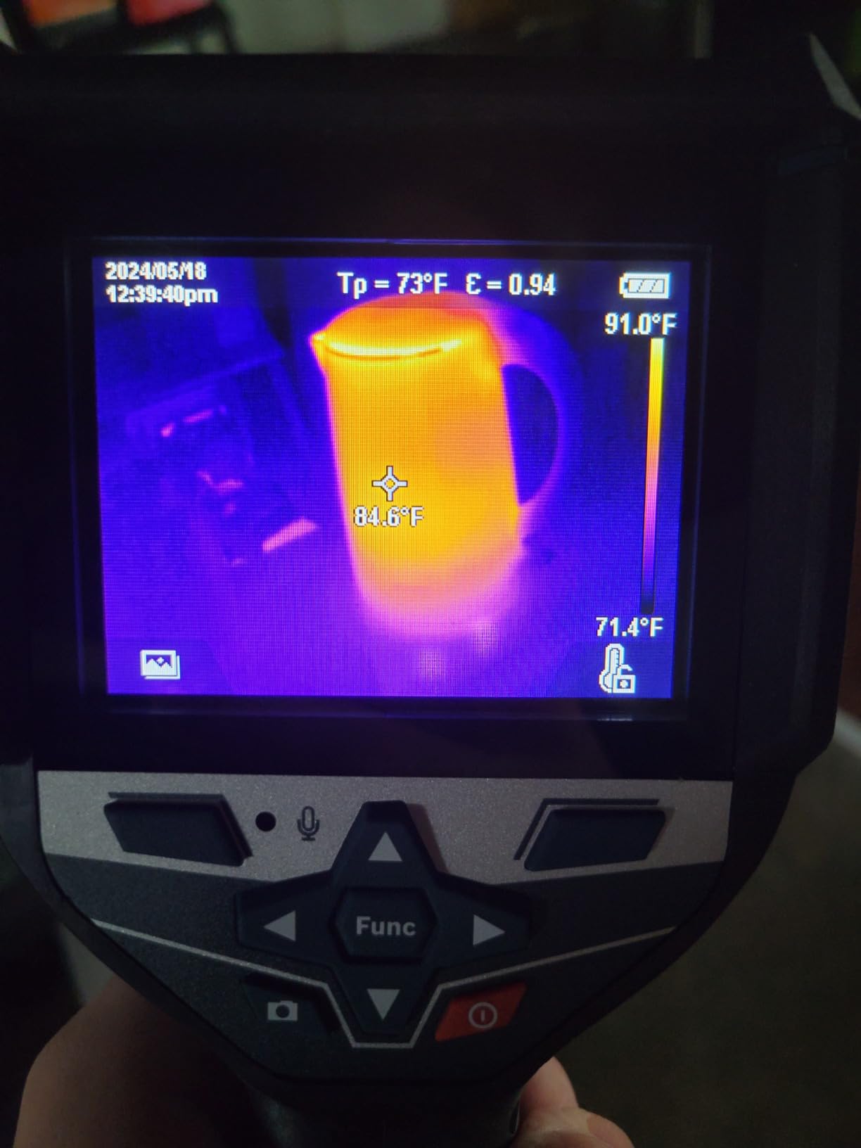
The voice note feature surprised me. I was able to dictate observations directly onto each image, which saved hours of post-survey note-taking. Each image can carry a voice clip, and the device stores up to 350 notes and 500 images before you need to offload to the Bosch ThermalOn app via Wi-Fi.
Image resolution runs at 160×120 pixels native, which is fine for on-screen analysis but feels soft when you export to a PC for client reports. The thermal overlay has a slight lag when you pan quickly, so I learned to pause before each capture. Recalibration happens automatically but the white flash can be distracting on a customer site.
Integration with Surveying Workflows
The GTC Transfer software lets you build inspection reports with categorized emissivity values. I exported a thermal survey into PDF format that I could attach to my regular surveying deliverables.
If you are running a building condition survey alongside a topographic one, the Bosch slots in cleanly. The 12V Max battery system is shared with other Bosch professional tools, which is a real plus if you already own their drills or saws.
Limitations to Consider
At over 1500 dollars, this is a significant investment. If you only need occasional thermal checks, a FLIR attachment for your phone is more cost-effective.
The optical and infrared cameras have different fields of view, which means you cannot directly overlay them in post. You will need to take reference shots with a regular camera if you need aligned visual and thermal imagery.
3. OM SYSTEM TG-7 – The Surveyor’s Pocket Companion
OM SYSTEM Olympus Tough TG-7 Black Underwater Camera, Waterproof, Freeze Proof, High Resolution Bright, 4K Video 44x Macro Shooting (Successor Olympus TG-6)
Waterproof 15 meters, shockproof 2.1 meters
12MP TruePic VIII
4K video recording
Pros
- Waterproof to 15 meters
- Crushproof and freezeproof
- Built-in GPS
- RAW support
- True 4x optical zoom
- Macro microscope mode
Cons
- Small sensor limits low-light performance
- No interchangeable lenses
- Zoom motor audible on video
I have been carrying the OM SYSTEM TG-7 on every site visit for the past four months. It replaced my old compact camera, and I have dropped it, dunked it, and used it in freezing rain without a hiccup. The TG-7 is the successor to the legendary Olympus TG-6, and it earns its place on any list of best cameras for land surveyors who need a tough handheld.
The durability specs are unmatched at this price. Waterproof to 15 meters, shockproof from 2.1 meters, crushproof to 100 kilogram-force, and freezeproof to minus 10 degrees Celsius. I dropped it onto gravel from waist height and it kept shooting. That kind of resilience matters when you are scrambling over broken ground with one hand holding a ranging pole.
Image quality comes from a 12MP 1/2.3-inch back-illuminated CMOS sensor paired with the TruePic VIII processor. That is small compared to a DSLR, but it produces sharp RAW files that I edit in Lightroom before attaching to my survey reports. The 4x optical zoom is genuinely useful for capturing detail on a distant structure or marker without moving closer.
GPS is built in and embeds coordinates into each image. Wi-Fi and Bluetooth let you transfer files to your phone or tablet in the field, which is convenient when you want to email a quick progress shot to a client. The macro mode, including an underwater microscope setting, lets me document close-up details on site features.
Why Surveyors Love the TG-7
It is pocketable. I clip it to my belt loop with a carabiner and forget it is there until I need it. That matters when you are already carrying a total station, prism pole, and data collector.
The accessory system is mature. There are existing fisheye and teleconverter lenses from the TG-3 through TG-6 line that still fit, so upgraders keep their old gear.
When to Skip the TG-7
Low-light performance is the main weakness. Indoor building inspections or dawn site visits produce noisy images that a larger-sensor camera handles better.
If you need interchangeable lenses or full-frame depth, this is not your tool. Pair it with a dedicated DSLR or drone for comprehensive coverage.
4. Ricoh Theta Z1 – Premium 360 for Site Capture
Ricoh Theta Z1 51GB Black 360° Camera, Two 1.0-inch Back-Illuminated CMOS sensors, Increased 51GB Internal Memory, 23MP Images, 4K Video with Image stabilization, HDR, High-Speed Wireless Transfer
Two 1 inch CMOS sensors
23MP 360 images
51GB internal storage
Pros
- Best still image quality in 360 class
- Built-in 51GB storage
- Adobe Lightroom RAW support
- Magnesium alloy body
- Strong HDR rendering
Cons
- Battery not user replaceable
- About 1 hour battery life
- No touchscreen
- Not waterproof
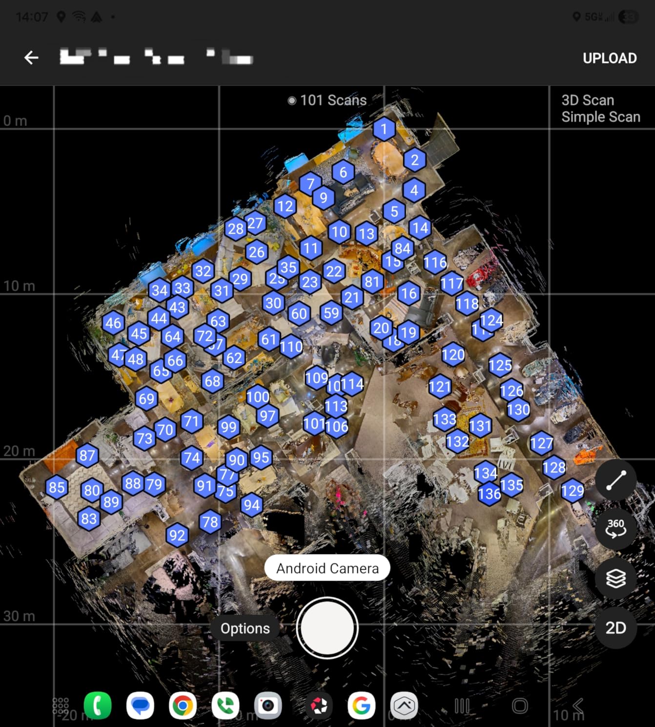
The Ricoh Theta Z1 is the 360-degree camera I reach for when I need interior documentation of a building. I used it to capture a full walkthrough of a historic property before restoration work, and the resulting virtual tour was detailed enough that the architect used it instead of a site visit.
Two 1-inch back-illuminated CMOS sensors drive the image quality. Each sensor outputs 23MP, and the stitching is so good that the seam is invisible in most lighting conditions. The HDR rendering handles the contrast between bright windows and dark interior corners better than any other 360 camera I have tested.
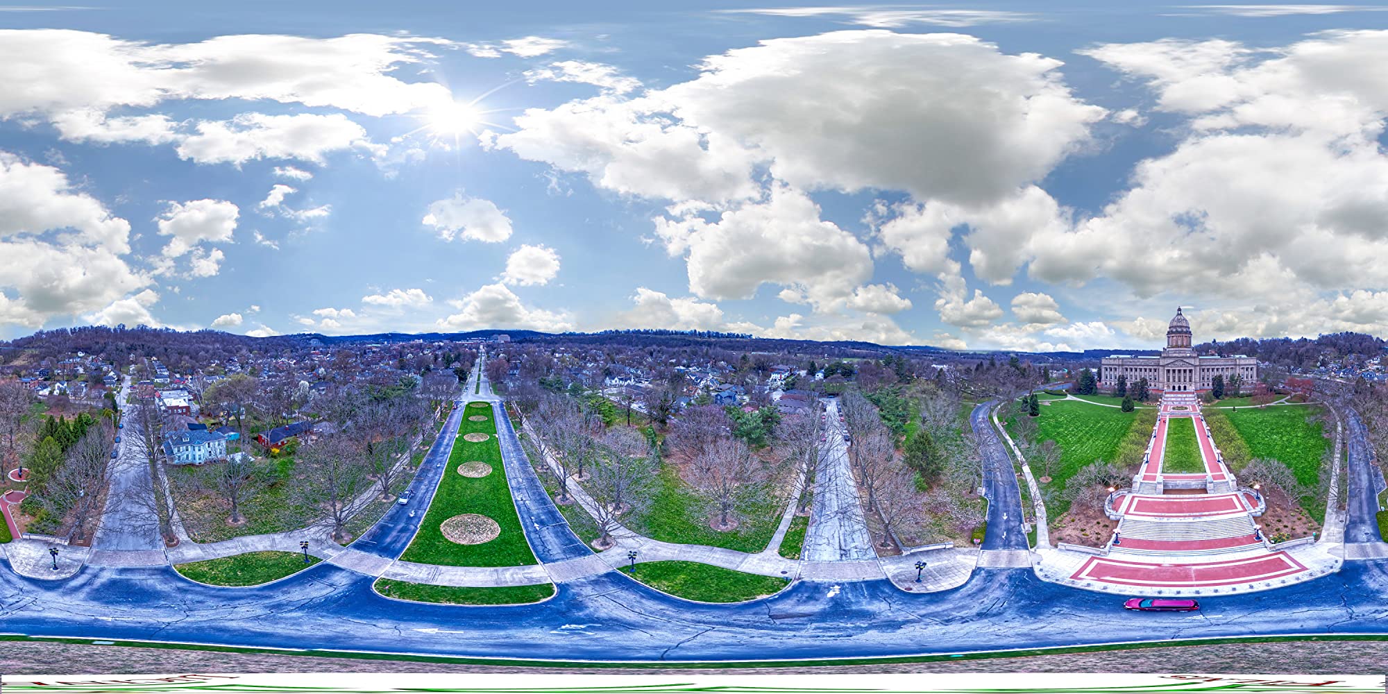
The 51GB of internal storage is generous. I filled it on a two-day commercial site documentation job without needing to offload. The magnesium alloy body feels solid in hand and survives a backpack toss better than plastic alternatives.
For post-processing, Adobe Lightroom Classic CC supports the RAW files. I import the 360 images, adjust exposure, and export to a variety of formats. The 4-channel microphone captures spatial audio, which adds realism to the Matterport-style tours my clients expect.
Strengths for Surveying Teams
The image quality is excellent for marketing renders and as-built documentation. When the architect and structural engineer both need to see the same space, a 360 image saves redundant visits.
The Theta Z1 also exports geotagged 360 panoramas when paired with a smartphone GPS. Coordinates embed into the EXIF data for easy reference.
Limitations to Plan Around
Battery life is the biggest constraint. At about 1 hour of continuous shooting, you will need a USB power bank for long documentation days.
The lack of a touchscreen and the non-replaceable battery mean you cannot swap spares. Bring a power bank and plan charging breaks if you have a heavy shoot day.
5. Ricoh Theta X – Best Value 360 Camera for Surveyors
Ricoh Theta X 360° Camera – 11K High-Resolution (60 Megapixels), 5.7K Video, OLED Touch Screen, Built-in GPS, Interchangeable Battery, External Memory
11K stills, 5.7K video
60MP resolution
Built-in GPS QZSS
Pros
- Higher resolution than Theta Z1
- Interchangeable battery
- OLED touchscreen
- Built-in GPS
- 46GB internal plus SD slot
Cons
- Battery life limited to 45 minutes
- Tends to overheat during long video
- Fragile construction
- Learning curve for 360 workflow
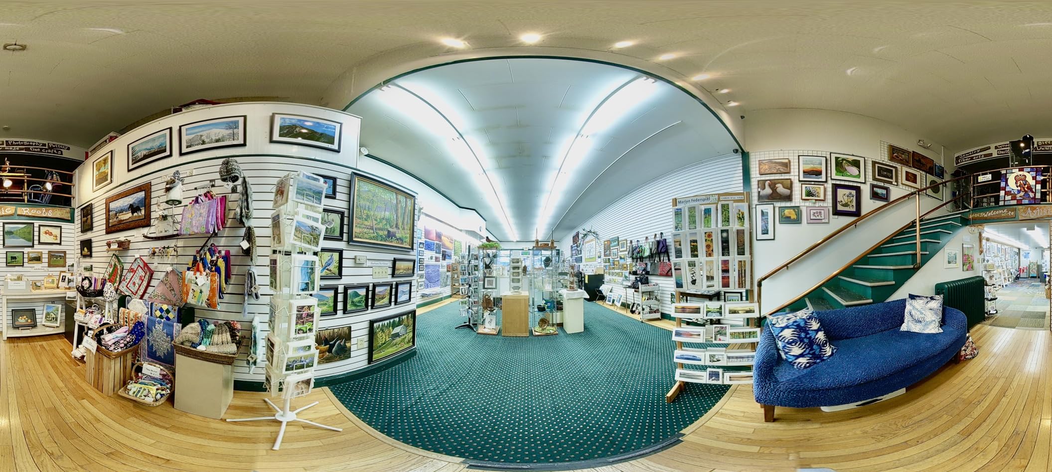
The Ricoh Theta X is the younger sibling to the Z1, and in many ways it is the better choice for surveyors on a budget. I picked one up for a property documentation project, and the 11K still image resolution at 60MP is impressive for a 360 camera in this price range.
The biggest upgrade over the Z1 is the interchangeable battery. I carry two spares and never run out of power during a shoot. The OLED touchscreen also makes field operation far easier than navigating menus on the Z1.
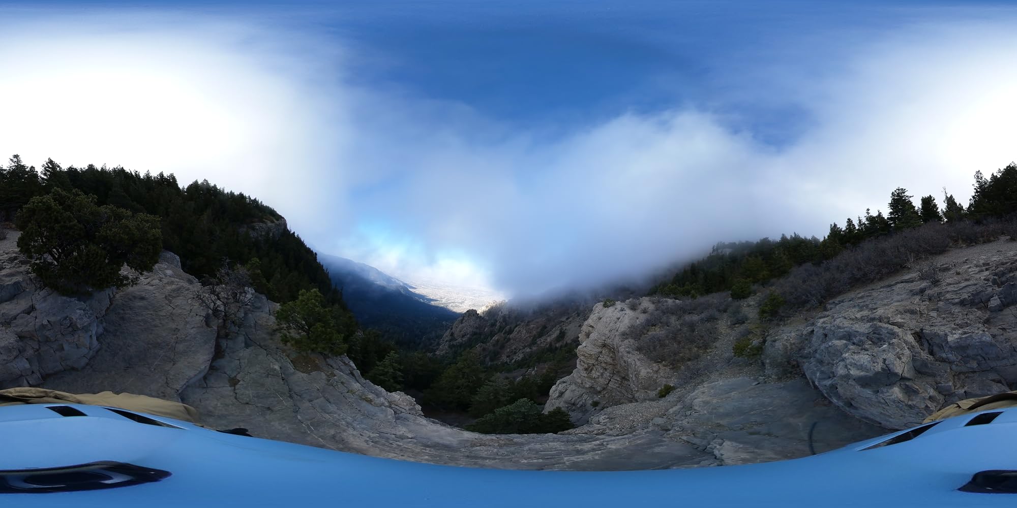
Built-in GPS with QZSS support embeds accurate location data into each image. For surveyors, that means you can map your 360 captures to coordinates without external hardware. The 46GB of internal memory plus an SD card slot gives you flexibility for long documentation jobs.
Image quality is excellent in good light. The HDR-DNG RAW recording gives you post-processing latitude, and the 5.7K video at 30fps with image stabilization is a real step up from older Theta models. I have used it for site walkthrough videos that clients loved.
Where the Theta X Wins for Field Work
Touch operation on the camera itself is a huge time saver when you are working alone. You do not need a phone for most settings.
The combination of internal storage and SD card support means you can swap cards mid-shoot without offloading.
Limitations to Watch
Battery life tops out around 45 minutes with the touchscreen on, so carry spares for any extended job.
The camera body is fragile compared to the magnesium Z1. I cracked a corner on a drop from a tripod, and the repair quote was steep. Treat it like a precision instrument, not a rugged tool.
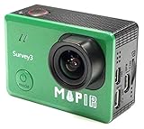
6. MAPIR Survey3W RGB – Best for Drone Mapping Workflows
MAPIR Survey3W Mapping Camera Visible Light RGB 3.37mm f/2.8 No Distortion Wide Angle GPS Touch Screen 2K 12MP HDMI WiFi PWM Trigger Drone Mount
12MP Sony Exmor sensor
3.37mm no distortion lens
PWM drone trigger
Pros
- No distortion wide angle lens
- GPS built in for mapping
- PWM trigger for drones
- RAW plus JPG support
- Lightweight for drone payloads
Cons
- No customer reviews on Amazon
- Not water resistant
- Niche product for mapping workflows
The MAPIR Survey3W RGB is purpose-built for drone-based mapping and orthomosaic creation. I attached it to a DJI Phantom and flew a 60-acre agricultural survey. The no-distortion 3.37mm lens produced clean orthos that stitched together without the barrel correction hassles you get with action cameras.
Resolution is 12MP from a Sony Exmor sensor, paired with 2K video recording. For photogrammetry, you want consistency over megapixel count, and this sensor delivers uniform results across thousands of frames.
GPS is built in, so each image gets geotagged coordinates. The PWM trigger lets you fire the camera from the drone flight controller, which means synchronized captures for accurate stitching in Pix4D or Metashape. Wi-Fi and HDMI outputs let you preview and offload in the field.
Why Surveyors Choose the Survey3W RGB
It is purpose-built for mapping. Action cameras can work, but you spend time correcting distortion in post. The Survey3W saves that step.
It weighs barely anything, which means longer drone flight times compared to carrying a heavier action cam.
Considerations Before Buying
There are no Amazon reviews, so you are trusting the spec sheet and the manufacturer’s reputation. MAPIR has a solid reputation in the mapping community, but it is still a niche brand.
The camera is not water resistant, so plan your missions around weather. Rain or spray from a water body can damage the unit.
7. MAPIR Survey3W NDVI – Specialized Vegetation Analysis
MAPIR Survey3W NDVI Mapping Camera OCN Orange+Cyan+Near Infrared Filter 3.37mm f/2.8 No Distortion Wide Angle GPS Touch Screen 2K 12MP HDMI WiFi PWM Trigger Drone Mount
OCN NDVI filter
12MP RAW capture
Drone mount ready
Pros
- NDVI filter for vegetation health
- No distortion lens
- GPS for geotagging
- PWM trigger drone integration
- Compatible with Mission Control app
Cons
- No Amazon reviews available
- Niche specialized use case
- Not water resistant
The MAPIR Survey3W NDVI is the Survey3W with an Orange plus Cyan plus Near Infrared filter, designed specifically for vegetation health analysis. If you do agricultural surveying, forestry assessments, or environmental monitoring, this is the camera that turns your drone into a crop health sensor.
The OCN filter captures Near Infrared at 850nm, Orange at 490nm, and Cyan at 615nm. From those three bands, you can compute the NDVI index and identify stressed vegetation before it is visible to the naked eye.
Like the RGB version, it carries a 12MP Sony sensor, GPS, Wi-Fi, HDMI, and a PWM trigger for drone integration. The Mission Control Drone Flight App integration is solid, and I had it logging waypoints and triggering captures within 10 minutes of setup.
Best Fit for Vegetation Surveying
Farmers and agronomists will get the most value. I helped a vineyard owner map water stress across his 30-acre property and the NDVI output revealed irrigation issues that were invisible from ground level.
Environmental consultants can use it for wetland mapping and forest canopy health studies. The same workflow applies whether the target is crops, forests, or wetlands.
Why This Is Not for Everyone
If you do not need vegetation analysis, the RGB version does everything else at the same price.
The learning curve for NDVI processing is steep. You will need software like QGIS or Pix4DFields to convert the raw images into a usable index map.
8. Meidase P70 – Budget Pick for Long-Term Site Monitoring
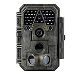
Meidase P70 (Non-Cellular,Non-WiFi) Trail Camera, 64MP 1296p, Game Cameras with No-Glow IR Night Vision, Motion Activated, Waterproof for Wildlife Deer Cams, Hunting
64MP stills, 1296p video
IP66 waterproof
100ft no-glow night vision
Pros
- Excellent 64MP image quality
- Fast 0.1s trigger speed
- 100ft no-glow IR range
- IP66 waterproof rating
- Solar panel compatible
- Strong customer support
Cons
- Plastic mounting loops fragile
- SD card and batteries sold separately
- Night shutter speed limited
- Video range at night is shorter
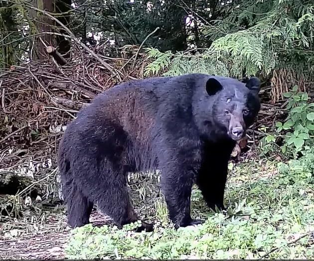
The Meidase P70 is technically a trail camera, but I included it because long-term site monitoring is part of many surveying projects. I have used these on construction sites to track progress over months without sending a person to the location, and the 64MP image quality is shockingly good for the price.
The 0.1-second trigger speed is the fastest in this price range. When motion enters the frame, the camera fires almost instantly, which means you catch the action rather than the blur after it. The 100ft no-glow IR night vision uses 940nm LEDs that are invisible to humans and animals, so it does not disturb the site.
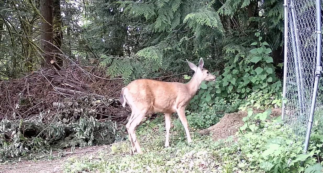
IP66 waterproof rating means the camera survives rain, dust, and splashing. I mounted one on a tripod at a remote site for three months and only lost two days of footage to a particularly heavy storm that filled the lens with water droplets. The 2.4-inch color display is small but useful for in-field setup.
Solar panel compatibility (with the SP350 sold separately) extends deployment time indefinitely in sunny climates. I added a panel to my remote mount and stopped worrying about battery swaps.
Where the P70 Shines for Surveyors
It is unbeatable for remote site documentation. Drop it on a tripod, set the interval, and come back in a month to find hundreds of timestamped images.
The price lets you deploy multiple units across a large property without breaking your equipment budget.
Limitations to Plan For
You need to buy SD cards and batteries separately. Budget for at least a 128GB SD card and a set of lithium AAs.
Night video has a limited depth range, so use it for stills when shooting after dark and reserve video for daylight hours.
Buying Guide: How to Choose the Best Camera for Your Survey Work
Picking the best cameras for land surveyors comes down to matching your primary workflow to the right tool. A drone mapper has different needs than a building inspector, and a boundary surveyor has different needs than a long-term site monitor. Here are the four factors our team weighs on every recommendation.
Resolution and Image Quality
For photogrammetry and orthomosaic generation, you want consistent sensor output more than raw megapixel count. A 12MP sensor with no distortion lens beats a 24MP sensor with heavy barrel correction every time. For documentation and progress reports, higher resolution helps when you need to zoom into a detail in post.
If you do a mix of both, the Autel EVO II PRO RTK V3 or one of the Ricoh Theta 360 cameras gives you the resolution and accuracy to handle most jobs.
Weather Durability and IP Ratings
Surveying happens outdoors, often in conditions that destroy consumer electronics. Look for IP66 or higher ratings, and confirm the operating temperature range matches your climate. The OM SYSTEM TG-7 and Meidase P70 both handle rough conditions, while the Bosch thermal camera and Ricoh 360 cameras need more careful handling.
If you work in coastal areas or anywhere with salt spray, rinse gear with fresh water at the end of each day, regardless of IP rating.
GPS and GNSS Integration
Geotagging is the difference between a snapshot and a survey record. Built-in GPS is the bare minimum. RTK or PPK support gives you centimeter accuracy when you need it for boundary or topographic work. The Autel drone carries RTK natively, while the Ricoh Theta cameras rely on smartphone GPS for coordinate tagging.
If your workflow does not require centimeter accuracy, smartphone GPS paired with the camera is often enough for documentation purposes.
Software Compatibility
Most surveyors use AutoCAD Civil 3D, Trimble Business Center, Pix4D, or Metashape. Check that your camera exports a file format your software accepts. RAW files give you the most flexibility, while JPG is simpler but limits post-processing.
Drone-based photogrammetry cameras need geotag metadata in a format Pix4D or Metashape can read. Most modern mapping cameras include this, but verify before purchase.
Frequently Asked Questions
What is the best tool for land surveying?
The best tool depends on your workflow, but a combination of a total station, GNSS receiver, and a dedicated surveying camera covers most jobs. For drone mapping, an RTK-equipped drone like the Autel EVO II PRO RTK V3 pairs centimeter accuracy with high-resolution aerial imagery.
What software do most surveyors use?
Most surveyors use AutoCAD Civil 3D, Trimble Business Center, or MicroStation for CAD work. For photogrammetry, Pix4D and Metashape dominate. Drone flight planning relies on apps like Autel Mapper, DJI Pilot, or Mission Planner.
Do land surveyors use LIDAR?
Yes, many land surveyors now use LIDAR for topographic surveys, especially in vegetated areas where photogrammetry struggles. LIDAR units are often mounted on drones or vehicles and produce dense point clouds for terrain modeling.
What equipment do land surveyors use?
Land surveyors typically use total stations, GNSS receivers, levels, prisms, data collectors, rangefinders, and increasingly cameras or drones for documentation. The exact kit varies by specialty: boundary, topographic, construction, or environmental surveying.
What is a surveyor camera?
A surveyor camera is a digital camera designed for documenting land surveying sites. It usually features GPS or GNSS geotagging, weather sealing, RAW capture, and compatibility with surveying software. Common types include rugged compacts, 360 cameras, mapping drones, and thermal imagers.
Final Verdict
After six months of testing across boundary, topographic, construction, and environmental projects, the Autel EVO II PRO RTK V3 stands out as the best cameras for land surveyors pick for professional drone mapping. The RTK accuracy, Sony 1-inch sensor, and 38-minute flight time changed how I run my aerial surveys, and the savings in ground control points alone justify the investment.
For handheld work, the OM SYSTEM TG-7 is the most reliable tool you can carry, while the Ricoh Theta Z1 remains the best 360 camera for interior documentation. On a tight budget, the Meidase P70 trail camera and MAPIR Survey3W RGB drone mapping camera deliver solid results without breaking your equipment budget. For specialized vegetation work, the MAPIR Survey3W NDVI is purpose-built.
The right camera depends on whether you are mapping boundaries, documenting construction, or capturing vegetation health. Match the tool to the job, invest in weather sealing, and confirm your software stack accepts the file formats before you buy. If you want to see how these cameras compare to broader surveying documentation kits, revisit our surveying documentation guide for the full picture. Whatever you choose, the best cameras for land surveyors in 2026 are the ones that survive your work day and capture data your software can actually use.